小型衛星を開発・運用し、誰もが宇宙を利用できる社会を目指して事業を展開する株式会社アクセルスペース(本社:東京都中央区、代表取締役:中村友哉、以下「当社」)は、このたびAxelGlobe事業向けに運用する小型地球観測衛星「GRUS-1E」の商用運用を再開したことをお知らせいたします。
「GRUS-1E」は、2024年12月に姿勢制御機能の不具合の状況及び商用運用停止をお知らせした後、復旧作業を進めた結果、2025年3月に画像データ取得が可能となりました。その後、自動運用システムでの画像データ取得を可能とする機能の開発を行い、この度、GRUS-1Eは商用運用を再開しました。今後、GRUS-1の衛星コンステレーションは5機での運用体制へと復帰いたします。
「GRUS-1E」に関する過去の発表は以下よりご覧いただけます。
AxelGlobe事業の小型衛星GRUS-1Eの現在の状況について(2024年12月20日)
AxelGlobe事業の小型衛星GRUS-1Eの復旧進捗について(2025年3月31日)
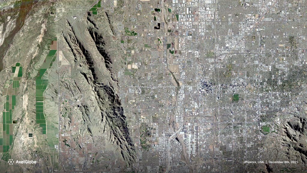
AxelGlobeについて
AxelGlobeサービスサイト:https://www.axelglobe.com/ja/
アクセルスペースについて
「Space within Your Reach〜宇宙を普通の場所に〜」をビジョンに掲げ、2008年の創業から世界に先駆けて小型衛星の開発に取り組んできました。小型衛星の設計、製造、軌道上運用における独自技術を基盤に、顧客の宇宙ミッション実現のための衛星開発・運用事業「AxelLiner(アクセルライナー)」、自社の光学衛星コンステレーションによる地球観測データ提供事業「AxelGlobe(アクセルグローブ)」を展開し、多様な産業のニーズに応えるソリューションを提供しています。これらの事業活動を通して、誰もが宇宙を利用できる社会の実現を目指しています。
株式会社アクセルスペース
所在地:東京都中央区日本橋本町3丁目3番3号 Clipニホンバシビル
代表取締役:中村 友哉(なかむら ゆうや)
設立:2008年8月
https://www.axelspace.com/ja/
本件に関する報道関係者からのお問い合わせ先
-
株式会社アクセルスペースホールディングス 経営管理本部 経営企画グループ PR&IRユニット
E-mail:pr@axelspace.com